

My name is Rebecca LaRochelle and I am an AmeriCorps member for a few months during this summer, working with Piney Creek Watershed Association as part of the American Conservation Experience EPIC Program. During my service I will be studying and writing a subwatershed plan about the subwatershed of Little Whitestick Creek, and ultimately I will propose some projects to improve the stream.
The goal of this project is to develop a subwatershed plan for Little Whitestick Creek, which is part of the larger Piney Creek Watershed. Piney Creek then flows into the New River, and is only a short distance from the New River Gorge National Park and Preserve. The plan will include detailed descriptions of the stream and its surroundings, water and habitat quality data collected at various points along the stream, and ideas for projects that can be done to improve the stream. The first few weeks were spent exploring the subwatershed to familiarize ourselves with the area and to look for ideas for projects. We also spent time looking for some of the major tributaries and tried to find places where we could get access to the stream for data collection. From our experiences, we learned that many of the current maps are not entirely accurate on the course of the stream in a few places, which led us to spend some time trying to put together a more accurate idea of how the stream actually runs at the present.
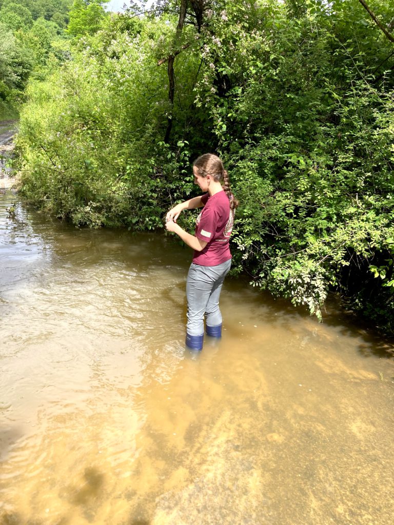
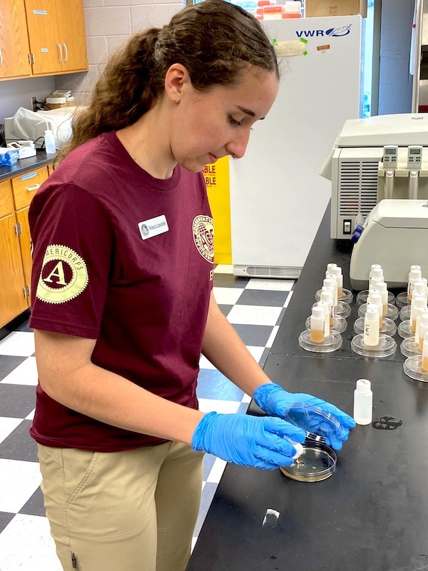
I have also spent a lot of time doing some background research into problems that are common in streams that have been subject to urbanization, such as this one, and that has led us to look into some details more than we would have before. While doing that, I have taken notes about how that could relate back to the problems we see in this stream. I have also studied possible ways to fix some of those problems, such as constructed wetlands and low water crossings. Although 5 sites along the stream are sampled monthly, for this project we added 10 new sites on tributaries or at possible project areas and have been able to go out and start collecting data and getting samples. We have gotten high flow samples after a few days of heavy rain and plan to back out to get low flow samples after it has been dry for a little while. When we sample, we collect data on water chemistry and take the samples back to the lab to test for fecal coliforms like E. coli.
We have begun writing the subwatershed plan and I have also devoted time to taking lots of pictures to include, both of the problem areas on the stream and on the positive things we have found, like the abundant wildlife along parts of it. I have also used GIS to put together some maps showing factors like impervious surfaces and land use, and I have looked at maps of the storm drains and sewers to see how they could be affecting the stream. In summary, so far we have spent time learning all about the subwatershed through some exploration and data collection, researching some of the problems it has along with possible solutions, and started writing out the actual subwatershed plan.