Exploring the Past, Planning for the Next Steps at Martin Van Buren National Historic Site
Written by: Holly Fieglein
May 28, 2021
Van Buren was the 8th president of the US, and a german immigrant who was raised in the city of Kinderhook. Later he moved out to more of the countryside and bought what was at the time the tallest building in the city (because of this he was taxed more for roads). His home, cottage, farms and history all make up our national historic site today. Since doing Archaeological work on MAVA, there have been ancient tribal artifacts dating back to the Mohicians in the 17th and 18th century. Because of this we have a relationship with the tribe and work in relation to incorporate their best wishes in preserving their history and the legacy of Martin Van Buren.
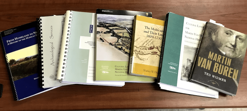
I am the newest addition to the staff here at Martin Van Buren National Historic Site (MAVA) in Kinderhook, NY. I was hired on as an Archaeology Survey intern, my role works mainly with Geographic Information Systems (GIS). My work right now is mainly just searching through old reports such as the cultural landscape reports, improvement plans, archaeology overview and assessments (AOA) and general history about the park. Along this there is sifting through digital and paper maps, gps points and written accounts of locations of former buildings, locations of past archaeological digs and boundary data. The goals right now are to organize what data we have, determine their accuracy and set a plan to collect data where there are gaps in the reports.
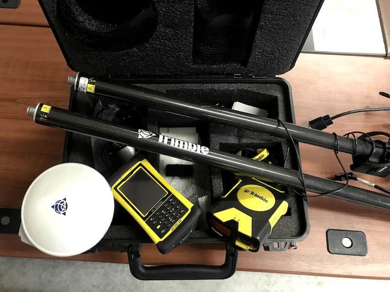
To aid in the future steps of gps data collection, I had the opportunity to travel to the Vanderbuilt mansion, and Elenor and Theodore Roosevelt’s estates. I was able to tour some of the locations, while also collecting a Trimble unit which I will use to collect GPS points in the coming weeks. The hope here is that there is enough data to have an understanding of where buildings should be located and then getting their coordinates which then will be input into a geodatabase to later aid in maintenance, to help determine site locations and use as a tool to communicate with local tribes.