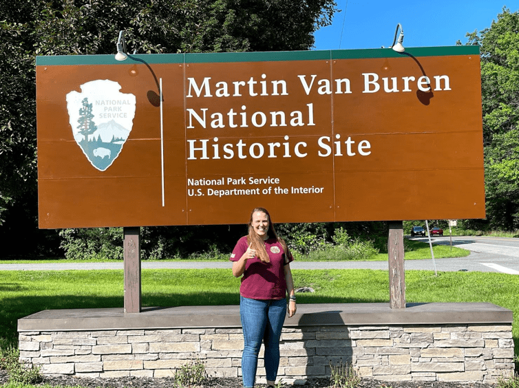
Fine Tuning the Details at Martin Van Buren NHS
Written by: Holly Fieglein
The goal of this project was to create a map that could be used to locate archeological sites through a GIS based system. The outcome is an interactive WebApp which shows varying layers from utilities, historic land boundaries and trees. This was done using ESRI’s ArcGIS Pro software, their online portals and GPS software.
As I wrap up this project I am working to fine tune our geodatabase, WebApp and updated cataloged data for archaeology reports. This includes a better understanding of data for MAVA and a more organized overview of existing data and missing reports. The data that MAVA has previously had in regards to GIS was very poorly organized, to the point that it was completely unusable, and now there is some organization for future projects. Some future projects at Martin Van Buren are to organize the archives, explore existing archeological findings and to work on restoring the historical orchard. Overall the objectives of this project have been well executed, and the WebApp will be used in relations with local tribes, for park maintenance, and monitoring. The process of creating a geodatabase and starting archeological GIS from the ground up will be used as a model for future parks.
Unfortunately due to the sensitive nature of archeological data, the WebApp and geodatabase are not open to the public.

Want to volunteer or follow a career path in land conservation and preservation? Discover American Conservation Experience.
